
Drone Surveys


Signal have found that Drone imagery can be a “game changer” with images that can alter the outcome of Building Surveys and Dilapidation negotiations.
Signal have been approved by the CAA to operate Drones for commercial purposes and consider ourselves to be experienced Operators.
We take Health and Safety very seriously and always fly in accordance with our operating procedures that are approved by the CAA.
We take a full Client brief to understand what is be achieved from the Survey and undertake the works for a fixed fee.
-
Signal Surveyors are qualified to undertake commercial drone surveys and have a current CAA (Civil Aviation Authority) Operator ID.
-
We will undertake a Drone survey to provide imaging data (still picture, video or thermographic) to other organisations for their exclusive use, OR we will use the Drone as part of our own Site Surveying commissions.
-
We have undertaken surveys to investigate defects not accessible by conventional means, monitor progress on construction sites and take photos for publicity literature.
-
Signal Drone pilots are fully Chartered Building Surveyors who are able to analyse the building or site during the flight to make sure the survey does not have to be repeated.
Video footage has incredible resolution for progress reports and marketing purposes.

Signal can produce point clouds for 3D visualisation all accurate to within 2cm
There are many Drone operators in the market, but very few pilots are also experienced Chartered Building Surveyors. Consequently, Signal can add value during the flight taking the drone down to view defects that an unqualified pilot might miss.
Signal Surveyors can undertake Drone surveys to produce remarkable images for a very reasonable fixed cost.
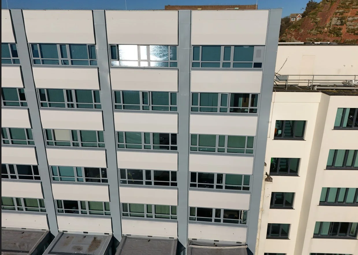
Drone’s can inspect places that cherry pickers and humans can’t reach. Tall buildings, hazardous environments and fragile roof coverings are not a problem.

Point Clouds can be used to take measurements to calculate volumes and areas without undertaking a traditional land survey. The output can be exported directly into CAD at a fraction of the cost of conventional methods.